Altocumulus Clouds over Hong Kong International Airport
|
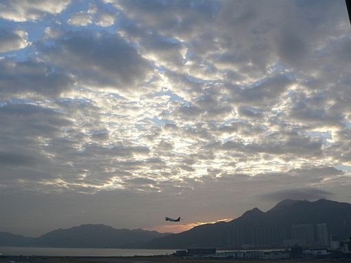
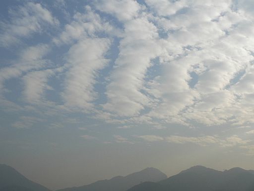
Altocumulus clouds are middle atmosphere clouds. They usually form in a layer of moist air, where airstreams ripple gently, like waves on the sea. As a wave rises, water vapour condenses to form clouds. The dry, stable air above the cloud layer prevents further upward development. The first picture below shows the altocumulus clouds that look like balls of cotton stuck into the blue background of the sky. You could see the bright rim of the broken white or grey clouds under diffused sunlight. On the far side, the sunrise gave a beautiful reddish colour. Altocumulus clouds can also be in the form of bands, rolls, waves or streets. The second picture, taken on the next day, shows the clouds look like "streets" in the sky. They were associated with the moisture in the air condensed into water droplets after the passage of a cold front. |
Fig.1: Photo taken by weather observers at the HKIA in the morning of 4 December 2008 towards the eastern direction.
Fig.2: Photo of "cloud streets" taken in the afternoon of 5 December 2008. |

