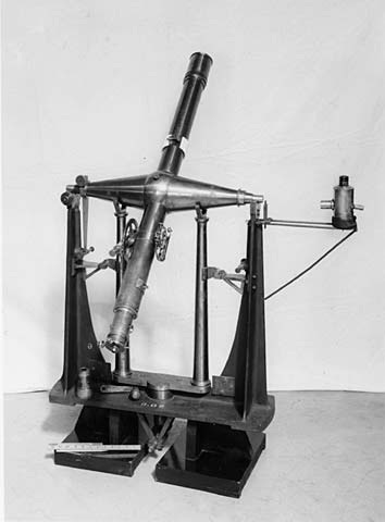
1883-1933: Equatorial & Transit Circle
 |
| (Source: Mr. Shun Chi-ming) |
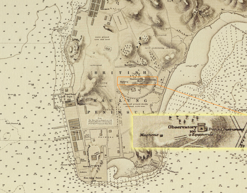
Nautical chart of Victoria Harbour, Hong Kong from 1886 to 1887, clearly showing the location of the Observatory. The respective locations for measuring magnetic variation, taking astronomical observations by the equatorial telescope, and determining the time by the transit telescope at the Observatory are marked "magnetic", "equatorial" and "transit instrument". |
|
| (Source: CalaisAlumni.org) |
|
|
|
| (Source: United Kingdom Science Museum) |
|
|
|
| (Source: UK National Archive) |
|
|
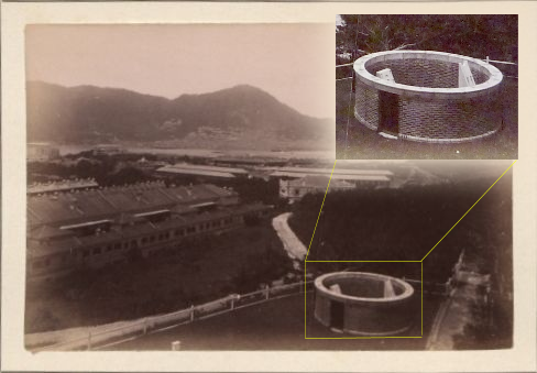
| The circular structure was used for housing physical tropical cyclone signals during 1920s to early 1930s before demolition in July 1933. The site was then used for building the Directior's quarters. |