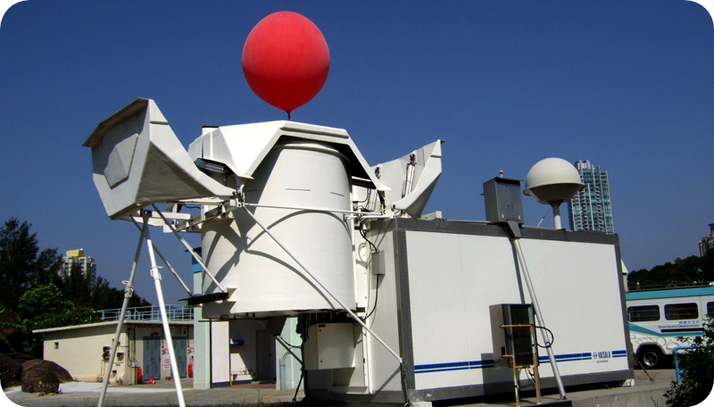
Upper-air Weather Measurements
Upper-air Observations in Hong Kong (Past 3 months)
- The difference between air temperature and dew point temperature (dew point depression) at a particular height indicates the humid condition of the air layer near that height. Clouds or fog usually appear when the dew point depression drops to near 0°C. Dew point depression is thus a useful indicator to estimate the cloud base height.
- In general, air temperature falls with height. Temperature inversion refers to the rise of air temperature with respect to the increase of height. When an inversion occurs in the atmosphere, the air below the inversion is relatively stable and vertical motion is suppressed. Under other adequate meteorological conditions, inversion is favourable for the formation of clouds, fog or haze in the lower atmosphere.
The above profiles of air temperature, dew point temperature, wind speed and wind direction are automatically generated based on upper air observations made by the Upper-air Sounding System at the King's Park Meteorological Station at without manual validation. Please note that the observations may vary from time to time and from place to place due to changes in the weather conditions. Users should understand the information presented and its limitations as well as monitor the weather conditions closely.
In case data is not available from the Upper-air Sounding System, the above profiles will be based on measurements made at the above time from Sham Shui Po Wind Profiler and King’s Park Microwave Radiometer instead.
For enquiries on weather information, please call Dial-a-Weather hotline 1878 200
For enquiries on public weather service, please contact Scientific Officer (Forecast Operations) at 2926 8375
Office Hour:
Monday to Friday 8:30am to 5:45pm
Closed on Saturday, Sunday and public holidays
